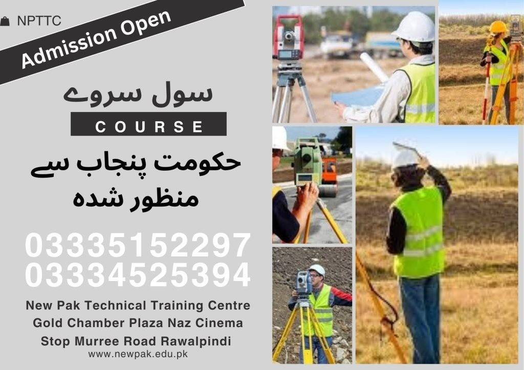
This civil surveyor course builds a strong foundation by exploring the role of surveying in civil engineering projects. Students study boundary, topographic, construction, and route surveys, along with measurement techniques, coordinate systems, and modern instruments like levels, theodolites, Total Stations, and GPS. Practical fieldwork and computer-aided tools help apply concepts to real-world tasks, making it ideal for those pursuing civil engineering surveying courses.
Course Overview
The 6-month survey course in Pakistan covers survey types, measurements, map projections, instruments, software, and fieldwork. The 1-year diploma adds advanced principles, instrument handling, calculations, drafting, and applied surveying software. Graduates are prepared for professional roles in civil engineering projects using up-to-date tools and techniques.
Course Duration
06 | Months
Basic Intro Civil Surveying
Types and Applications of Surveys
Linear Measurements (Chains, Tapes, EDM)
Leveling Techniques
Traversing Methods
Coordinate Systems & Map Projections
Basic Trigonometry for Surveying (Optional)
Surveying Instruments: Levels, Theodolites, Total Station
Introduction to data processing using surveying software
Course Outline (1-Year)
Months 1–6: Fundamental Civil Surveyor Course in Rawalpindi Islamabad
(Same course content as the 6-month program but with more detail, role-plays, software demos, and assessments.)
Introduction to Surveying & it's Types
Month 7
Introduction to the history and importance of surveying
Role in civil engineering
Different types of surveys are conducted
Fundamental Surveying Principles
Month 8
Linear measurements using chains, tapes, and electronic distance meters (EDM)
Leveling techniques to determine elevation differences
Traversing methods for establishing control points
Introduction to topographic surveying for creating maps
Surveying Instruments (Practical Focus)
Month 9
Hands-on experience with surveying instruments, including chains and tapes
Levels (automatic and digital)
Theodolites (optional, might be covered in a basic version)
Total Stations (focusing on basic functionalities)
Introduction to GPS equipment (understanding basic principles)
Surveying Calculations & Coordinate Systems
Month 10
Area and volume calculations
Coordinate transformations
Slope calculations (optional)
Surveying, Drafting, and CAS Application
Month 11
Introduction to basic drafting techniques for creating simple surveying plans and maps
Surveying software for data collection and processing
Generating maps and plans
Field Practice and Final Applications
Month 12
Practical field exercises
Applying theoretical knowledge to real-world surveying scenarios
Setting up instruments, taking measurements, and collecting field data
Introduction to data processing using software
Career Opportunities
Land Surveyor
Construction Surveyor
Field Engineer
Assistant Project Manager
Conclusion
The Civil Surveyor Course in Rawalpindi Islamabad offers a comprehensive pathway into modern surveying, blending theory with practical fieldwork and software training. Whether you choose the 6-month foundation or the 1-year advanced diploma, these civil engineering surveying courses equip you with the skills and tools needed to excel in land and construction surveying roles across the industry.