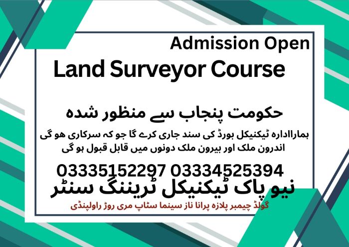
Land Surveyors are essential to every construction and infrastructure project, mapping land with precision before work begins. At New Pak Technical Training Centre, our program combines traditional surveying techniques with modern GPS, GNSS, and Total Station technology. Through hands-on training and digital mapping skills in AutoCAD and ArcGIS, you’ll be prepared for high-demand roles in Pakistan and the Gulf, including Saudi Arabia, UAE, and Qatar. Graduates can work on urban development, highways, and industrial projects or pursue a career in geomatics and topographic mapping.
Course Overview
Before a single brick is laid or a road is paved, a Land Surveyor must map the terrain. At New Pak Technical Training Centre, our Land Surveyor course teaches you the precision science of measuring distances, angles, and elevations. We bridge the gap between traditional surveying methods and modern satellite-based technology to make you a master of the field.
Why Choose Our Land Surveyor Course Program?
Total Station Specialist: Intensive hands-on training on the Total Station, the most important tool for modern construction and topography.
Modern GPS & GNSS: Learn to use satellite positioning for large-scale boundary marking and mapping.
Digital Drafting: We combine field skills with office skills, teaching you to process data in AutoCAD and ArcGIS.
High-Demand Skill Abroad: Land Surveyors are essential for the massive urban projects in Saudi Arabia (NEOM), the UAE, and Qatar.
Detailed Course Modules
06 | Months Certificate
Focus: Mastering the core instruments and basic mapping.
Surveying Principles: Understanding scales, units, and the geometry of the earth.
Leveling & Contouring: Using the Auto-Level and Dumpy Level to determine heights and create contour maps.
Linear & Angular Measurements: Mastering the Prismatic Compass, Theodolite, and measuring chains/tapes.
Basic AutoCAD: Learning to digitize field notes into professional 2D site plans.
01 | Year Certificate
Focus: Satellite technology, infrastructure layout, and 3D data.
Total Station Mastery: Advanced functions including stake-outs, area calculations, and remote elevation measurements.
GNSS/GPS Surveying: Using Global Navigation Satellite Systems for high-precision coordinate collection.
Road & Route Surveying: Specialized training in the layout and alignment of highways, bridges, and curves.
GIS Fundamentals: Introduction to Geographic Information Systems for managing and analyzing spatial data.
Frequently Asked Questions (FAQs)
Do I Need a Background in Math or Engineering?
A basic understanding of arithmetic is helpful (Matric/Middle level). We teach you the specific geometry and trigonometry needed for surveying from the ground up.
What Is the Difference Between a Land Surveyor and a Civil Surveyor?
They are very similar. “Land Surveyor” usually refers to boundary and topographical mapping, while “Civil Surveyor” focuses more on construction sites and building layouts. Our course covers both.
Can I Get a Job in the Gulf After This Course?
Yes! Our certificate is recognized for “Trade Tests” conducted by overseas recruitment agencies. Many of our graduates work as Surveyors in large international construction firms.
Month 1 — Introduction & Basic Surveying Concepts
1. Theory
Introduction to Land Surveying
Definition, importance, and applications
Types of surveys: cadastral, topographic, construction, hydrographic
Surveying Units and Measurements
Length, area, and volume units
Measurement standards in Pakistan
Surveying Principles
Principles of measurement, accuracy, and precision
Errors in surveying: gross, systematic, and random errors
Basic Mathematics for Surveying
Trigonometry fundamentals
Geometry in surveying
2. Practical
Familiarization with Surveying Instruments
Chain, tape, compass, theodolite, total station
Measuring Distances and Angles
Tape and chain surveying
Compass orientation and basic angular measurement
Field Exercises
Simple linear measurements
Plotting measured distances on graph paper
Month 2 — Compass and Chain Surveying
1. Theory
Compass Surveying Principles
Types of compasses: Prismatic and Surveyor’s compass
Bearings and azimuths
Chain Surveying Concepts
Principles of chain surveying
Offsets, ranging, and chaining techniques
Error Correction
Magnetic declination
Correction for slope
2. Practical
Compass Traversing
Measuring angles and directions
Adjusting for local declination
Chain Surveying Exercises
Measuring plots, marking points
Calculating areas from field notes
Plotting Survey Data
Drawing field sketches
Converting field notes to maps
Month 3 — Theodolite Surveying & Levelling
1. Theory
Introduction to Theodolite
Types: Vernier, Digital, Total Station
Parts and functions
Measuring Horizontal and Vertical Angles
Horizontal angles by repetition and reiteration
Vertical angles and elevation measurement
Levelling Concepts
Types: Simple, Differential, Precise levelling
Benchmarks, datum, and leveling staff
Contour Surveying
Contour lines, slope analysis, and topography
2. Practical
Introduction to Theodolite
Types: Vernier, Digital, Total Station
Parts and functions
Measuring Horizontal and Vertical Angles
Horizontal angles by repetition and reiteration
Vertical angles and elevation measurement
Levelling Concepts
Types: Simple, Differential, Precise levelling
Benchmarks, datum, and leveling staff
Contour Surveying
Contour lines, slope analysis, and topography
Month 4 — Plane Table Surveying
1. Theory
Introduction to Plane Table
Types: Alidade, Telescopic, and Panoramic
Advantages and limitations
Methods of Plane Table Surveying
Radiation method
Intersection method
2. Practical
Setting up a Plane Table
Centering, leveling, and orienting
Field Exercises
Measuring distances and plotting directly on the map
Combining multiple methods for accuracy
Map Preparation
Drawing scaled maps
Checking and correcting errors
Month 5 — Modern Surveying Techniques & GPS
1. Theory
Introduction to GPS and GNSS
Principles, satellites, and receivers
Accuracy and limitations
Modern Survey Instruments
Total Station, Laser Scanners, Drones
Data Management in Surveying
Field notes, survey plans, and digital mapping
2. Practical
Total Station Operation
Measuring distances, angles, and coordinates
Storing and transferring data
GPS Field Surveying
Setting control points
Recording coordinates and elevation
Digital Mapping
Importing data to software (AutoCAD, Civil 3D, or QGIS)
Plotting field data digitally
Month 6 — Advanced Surveying Applications & Project Work
1. Theory
Cadastral Surveying
Land ownership, boundaries, and legal aspects
Engineering Surveying
Road, bridge, and building surveys
Earthwork calculation
Hydrographic Surveying Basics
River, canal, and reservoir survey
Surveying Safety & Professional Ethics
2. Practical
Capstone Project
Full survey of a selected plot or site
Application of all methods learned (chain, compass, theodolite, plane table, GPS)