Surveyor Course in Pakistan
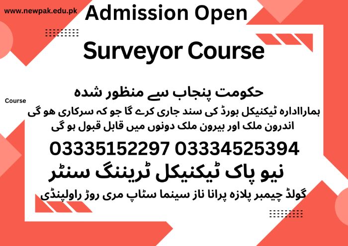
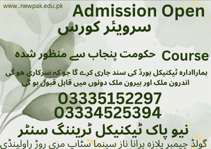
The Surveyor Course in Pakistan at New Pak Technical Training Centre is a comprehensive program designed to train students in land measurement, mapping, and construction quantity estimation. Graduates gain hands-on experience with modern surveying equipment, including Total Station, Auto Level, Theodolite, GPS, and industry-standard software like AutoCAD and Excel. The course prepares students for both local and international opportunities in land surveying, civil engineering projects, and quantity surveying, with practical exposure to real construction sites and professional project workflows.
Course Overview
Precision is the foundation of every great structure. At New Pak Technical Training Centre, our Surveying program provides students with the technical expertise to measure land, map boundaries, and calculate material costs with 100% accuracy. We prepare you to be the eyes and the brain of any construction project.
Career Scope in Pakistan:
- Land Surveyor
- Civil Surveyor
- Road & Highway Surveyor
- Building Surveyor
- Quantity & Site Assistant
- GIS & Mapping Assistant
Why Choose Our Surveyor Program?
- Modern Equipment: Training on the latest digital instruments including Total Station, Auto Level, and GPS.
- Software Mastery: Learn industry-standard software like AutoCAD and MS Excel for quantity calculations.
- Gulf-Ready Skills: This is one of the top-paying technical jobs for Pakistanis in Dubai, Saudi Arabia, and Qatar.
- Field Training: We don’t just stay in the classroom; our students perform real-time land measurements and mapping.
Detailed Course Modules
06 | Months Certificate
Focus: Measuring land and setting out project boundaries.
- Basics of Surveying: Understanding scales, units, and linear measurements.
- Leveling: Mastery of Auto Level for calculating heights and slopes.
- Total Station: Using the Total Station for distance, angle measurements, and data collection.
- Map Reading: Understanding architectural drawings and topographical maps.
01 | Year Certificate
Focus: Cost estimation, material take-offs, and project management.
- Quantity Take-off: Calculating materials for concrete, steel, brickwork, and finishes.
- Cost Estimation: Preparing BOQs (Bill of Quantities) and cost analysis for large projects.
- AutoCAD for Surveyors: Plotting field data into digital drawings.
- Contract Management: Understanding tenders, billing, and measurement books (MB).
Frequently Asked Questions (FAQs)
Can I Get a Job in a Construction Company After This Course?
Yes! Surveyors and Quantity Surveyors are required in every road, bridge, and building project. You can work with private developers or government contractors.
Is There a Demand for This in the Middle East?
Extremely high. “Land Surveyor” and “QS” are critical roles in Gulf construction, often offering high salaries and benefits.
Do I Need to Be Good at Math?
Basic math skills are helpful, but we teach you all the specific formulas and software tools you need to succeed in the field.
Month 1 — Introduction to Surveying
1. Theory
- Definition and importance of surveying
- Role of surveyor in Pakistan
- Types of surveys
- Land Survey
- Engineering Survey
- Topographic Survey
- Cadastral Survey
- Units of measurement (metric system)
- Surveying ethics & professional conduct
- Safety rules at site
- Basic mathematics for surveying
2. Practical
- Identification of surveying instruments
- Handling of chains, tapes, ranging rods
- Practice of linear measurements
- Field safety drills
Month 2 — Chain Surveying
1. Theory
- Chain surveying principles
- Instruments used in chain surveying
- Offsets (perpendicular & oblique)
- Errors in chain surveying
- Booking of field notes
- Advantages & limitations
2. Practical
- Chain measurement on open ground
- Taking offsets
- Preparing field book
- Plotting chain survey on paper
Month 3 — COMPASS SURVEYING
1. Theory
- Bearings and angles
- Types of compass
- Prismatic Compass
- Surveyor’s Compass
- Whole circle bearing & quadrantal bearing
- Local attraction
- Magnetic declination
2. Practical
- Compass handling
- Taking bearings in field
- Traversing with compass
- Plotting compass traverse
- Correction of local attraction
Month 4 — Levelling (Part 1)
1. Theory
- Importance of levelling
- Types of levels
- Dumpy Level
- Auto Level
- Types of levelling
- Bench marks
- Reduced Level (RL) concept
2. Practical
- Setting up dumpy level
- Staff reading practice
- Simple levelling
- Booking level field notes
- Height of Instrument method
Month 5 — Levelling (Part 2)
1. Theory
- Rise & Fall method
- Profile levelling
- Cross-section levelling
- Errors in levelling
2. Practical
- Road profile levelling
- Plotting L-Section & Cross Section
- RL calculations
- Error adjustment
- Field accuracy checking
Month 6 — Plane Table Surveying
1. Theory
- Plane table principles
- Instruments used
- Methods of plane tabling
- Radiation
- Intersection
- Traversing
2. Practical
- Plane table setup
- Orientation practice
- Field plotting
- Small area mapping
- Accuracy checking
Month 7 — Theodolite Surveying
1. Theory
- Introduction to theodolite
- Parts of theodolite
- Temporary & permanent adjustments
- Measurement of horizontal & vertical angles
- Traversing with theodolite
2. Practical
- Theodolite setup
- Angle measurement
- Traverse survey
- Plotting theodolite traverse
- Error checking
Month 8 — Tacheometry & Contouring
1. Theory
- Tacheometry principles
- Stadia method
- Contouring
- Uses of contour maps
2. Practical
- Tacheometric survey
- Contour levelling
- Drawing contour maps
- Site slope analysis
- Earthwork estimation basics
Month 9 — Total Station (Modern Surveying)
1. Theory
- Introduction to Total Station
- Electronic Distance Measurement (EDM)
- Data collection & storage
- Coordinate systems
- Advantages of Total Station
2. Practical
- Total Station setup
- Point measurement
- Traversing
- Data downloading
- Plotting with software
Month 10 — GPS & GIS BASICS
1. Theory
- Global Positioning System (GPS)
- Types of GPS surveys
- Introduction to GIS
- Mapping applications in Pakistan
- Survey data integration
2. Practical
- GPS handheld use
- Coordinate reading
- Simple GIS mapping
- Google Earth mapping
- Field data plotting
Month 11 — Construction & Site Surveying
1. Theory
- Building layout
- Road alignment
- Bridge & canal survey basics
- Earthwork calculations
- Quantity estimation basics
2. Practical
- Building layout on site
- Center line marking
- Road alignment practice
- Cut & fill calculation
- Practical site visit
Month 12 — Professional Practice & Final Project
1. Theory
- Survey laws in Pakistan
- Revenue & land record system
- BOQ basics
- Tender drawings understanding
- Freelancing & job opportunities
2. Practical
- Final survey project
- Complete field to office work
- Viva & practical exam
- Report preparation
Tools & Instruments Trained
- Chain & Tape
- Compass
- Dumpy Level
- Auto Level
- Plane Table
- Theodolite
- Total Station
- GPS
