The Surveyor Certificate and Diploma Program is designed to deliver a strong foundation in surveying through both classroom instruction and hands-on fieldwork. Ideal for those pursuing a surveyor certificate course or looking to begin a surveying degree path, this program covers everything from traditional tools to modern surveying technologies. Emphasis is placed on ethical practices, accurate measurements, and professional standards essential for infrastructure and land development.
Course Overview
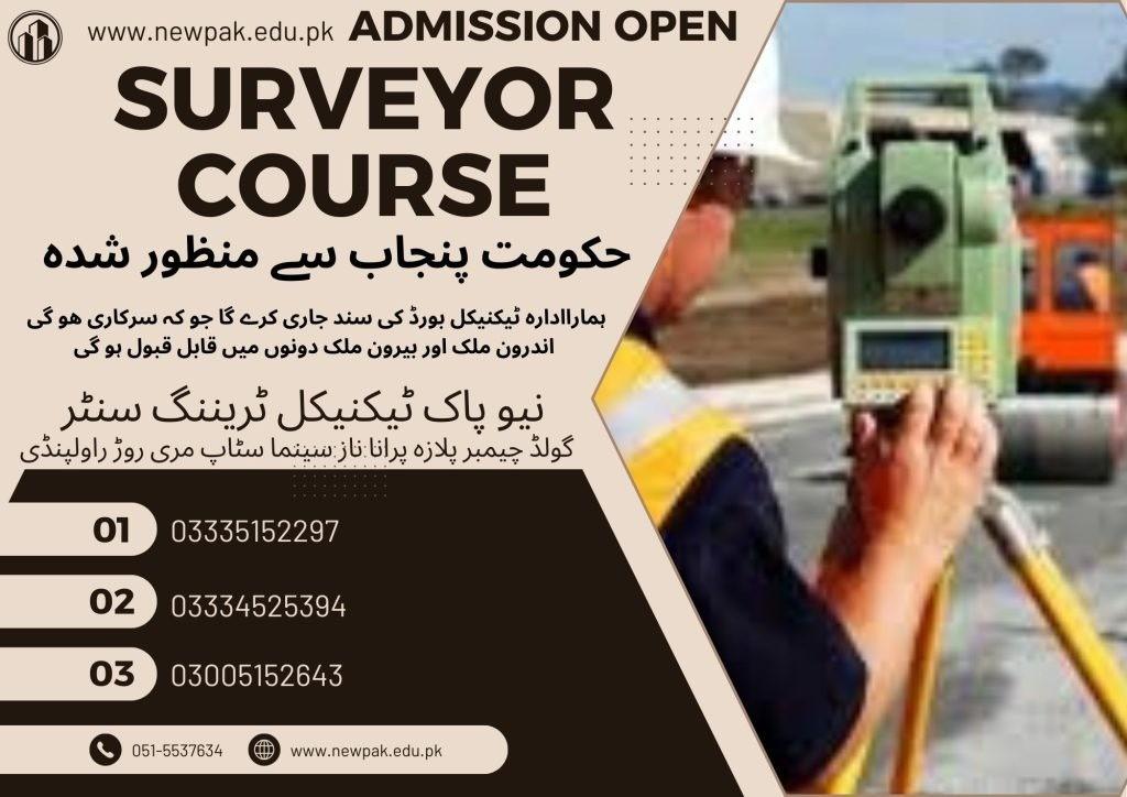
The 6-month surveyor course in Islamabad covers core concepts including instrument handling, field measurements, AutoCAD drafting, and practical exercises, perfect for those seeking land surveyor training or entry-level surveying classes. The 1-year Survey course diploma expands into advanced methods like triangulation, photogrammetry, construction layout, and surveying regulations in Pakistan. Together, the programs prepare students for a career in surveying and mapping, with skills applicable to both private sector and government roles.
Basics of angular measuring instruments: theodolites and compasses
Introduction to Total Stations and GPS (Global Positioning System)
Surveying Techniques – Part I
Month 3
Chain surveying: distance measurement and plotting methods
Leveling: principles, differential and profile leveling, reduction of levels
Surveying Techniques – Part II
Month 4
Traversing: open and closed traverse, calculations, balancing errors
Topographical surveying: data collection (tacheometry, contouring)
Basic setting out techniques for construction
Fieldwork and Data Collection
Month 5
Practical exercises using surveying instruments
Field data collection techniques and maintaining field books
Introduction to data processing using basic surveying software
Technical Drafting and AutoCAD
Month 6
Surveying symbols and conventions used in maps and plans
Manual drafting techniques for survey plans
Introduction to AutoCAD for computer-aided drafting
Course Outline (1-Year)
Months 1–6: Core Surveyor Course in Rawalpindi Islamabad
(Same course content as the 6-month program but with more detail, role-plays, software demos, and assessments.)
Expert Surveying Techniques Part-I
Month 7
Triangulation theory and purpose
Methods of establishing control points
Triangulation network layout and calculations
Practical exercises in triangulation surveying
Surveying Techniques Part-II
Month 8
Introduction to photogrammetry
Basics of aerial photography and image interpretation
Applications of photogrammetry in mapping
Fundamentals of remote sensing in land management
Computer-Aided Surveying (CAS)
Month 9
Introduction to CAS software tools
Data collection and input into CAS systems
Processing field data for maps and visualizations
Generating digital maps and basic analysis reports
Construction Surveying
Month 10
Setting out foundations, columns, beams, and slabs
Road surveying: centerline, cross-section, and profile layout
Pipeline and canal alignment and level marking
As-built survey techniques and documentation
Surveying Laws
Month 11
Overview of Pakistan’s land laws (Land Revenue Act, etc.)
Legal procedures for boundary demarcation
Understanding plan approval processes
Coordination with regulatory and local authorities
Project Management
Month 12
Project planning and task scheduling for surveying jobs
Resource and equipment management
Cost estimation and budgeting in surveying projects
Reporting standards and documentation practices
Career Opportunities
Land Surveyor
Construction Surveyor
GIS and Mapping Technician
Photogrammetry Technician
Survey CAD Operator
Assistant Survey Engineer
Conclusion
The Surveyor Course in Rawalpindi Islamabadprovides comprehensive, hands-on training for students pursuing careers in surveying and mapping. Whether through the 6-month surveyor certificate course or the advanced 1-year diploma, learners gain expertise in land measurement, AutoCAD drafting, and field data collection. This program is ideal for those seeking professional surveyor training, land surveyor training, or stepping into a surveying degree or a surveying and mapping degree path. Graduates at the best institue for Surveyor Course in Pakistan, NPTTC are equipped for roles in construction, GIS, mapping, and legal land demarcation, making this a valuable starting point for aspiring survey professionals.